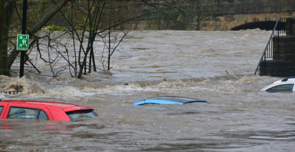
Hurrikaani Florence iski viikonlopun aikana Yhdysvaltojen itärannikolle, aiheuttaen tuhoja erityisesti Pohjois-Carolinassa. Varsinaisen myrskyn jälkeen asukkaita piinaa tuhoisa tulva.
Paikallisten viranomaisten Twitterissä jakamassa kuvassa nähdään jotain, mikä nopeasti vilkaistuna näyttää joelta. Tosiasiassa kyseessä on kuitenkin tulvaveden peittämä moottoritie.
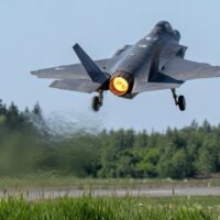
Kuvan otti alueella partioiva ja myrskyn tuhoja tutkiva UAV-lennokki. Myrskyn myötä Pohjois-Carolinassa satoi Mashable-sivuston mukaan joku 90 sentin edestä. Osavaltion historian aikaisempi sademäärän ennätys on 60 senttiä.
The @NCSHP, through a joint effort with @NCDOT, is conducting UAS flying missions over flooded areas to map out structural damage, as well as identify flooded vehicles that may have trapped occupants. Watch mission footage here: https://t.co/LlYtD1KW0a. #FlorenceNC pic.twitter.com/BynmtB4P4z
— NC Highway Patrol (@NCSHP) September 18, 2018
https://www.facebook.com/ABC13News/videos/312377156238045/
You can clearly see the water levels rising in Cape Fear River as we compare photos from Sunday to Today. #capefear #Florence #ReadyNC #ReadyFay pic.twitter.com/jiPUCVpLBP
— Fayetteville Police (@FayettevillePD) September 18, 2018
Voit lisätä Staran Googlen ensisijaiseksi lähteeksi klikkaamalla tästä ja ruksittamalla laatikon. Voit myös lukea lisää tähän artikkeliin liittyvistä teemoista ja aiheista, kuten hurrikaani, moottoritie, myrsky, tulva tai laajemmin samasta aihealueesta Uutiset -osioistamme.